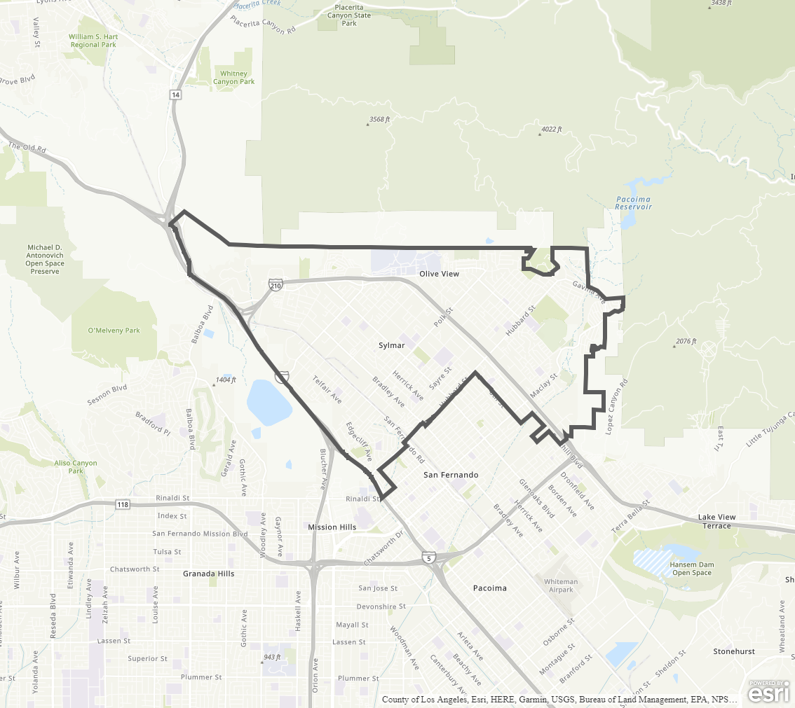
Sylmar Community Plan
Staff Contact: Project Review
Dang Nguyen
dang.nguyen@lacity.org
Joshua Ordonez
(213) 682-6370
joshua.ordonez@lacity.org
Erick Marchena
(213) 682-6371
erick.marchena@lacity.org
Dang Nguyen
dang.nguyen@lacity.org
Joshua Ordonez
(213) 682-6370
joshua.ordonez@lacity.org
Erick Marchena
(213) 682-6371
erick.marchena@lacity.org
Staff Contact: Plan Policies
Elizabeth Jimenez
(818) 374-9907
elizabeth.jimenez@lacity.org
Lilly Nie
(213) 682-6367
lilly.nie@lacity.org
Helen Jadali
(213) 978-1339
helen.jadali@lacity.org
General Information:
Valley Public Counter: (818) 374-5050
The Sylmar Community Plan Area was last updated in 2015. The Community Plan area includes the community of Sylmar.
Adopted Maps
These maps represent official documents that were approved by the City Council. These commonly show land and development rules and regulations by graphic representation.
Interactive Maps
These maps have multiple layers that can be selected to show resources, landmarks, government faculties and services, and other information that is pulled from multiple sources.
Informational Maps
These maps are for informational purposes only.