Southeast Los Angeles Community Plan
Staff Contact: Project Review
planning.sela@lacity.org
planning.sela@lacity.org
Staff Contact: Plan Policies
Zuriel Espinosa (213) 978-1249
zuriel.espinosa@lacity.org
General Information:
Metro Public Counter: (213) 482-7077
The Southeast Los Angeles Community Plan was recently updated in 2017. By emphasizing its rich cultural and architectural history and its diverse and empowered population, the Southeast Los Angeles Community Plan encourages responsible development that enhances the quality of life for residents, creates healthy and sustainable neighborhoods and promotes business development that serves the needs of the community.
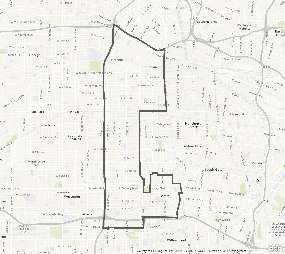
The Southeast Los Angeles Community Plan Area contains the communities of Central, Avalon, Green Meadows and Watts.
Adopted Maps
These maps represent official documents that were approved by the City Council. These commonly show land and development rules and regulations by graphic representation.
Interactive Maps
These maps have multiple layers that can be selected to show resources, landmarks, government faculties and services, and other information that is pulled from multiple sources.
Informational Maps
These maps are for informational purposes only.